
People & Places
People & Places: Sama Dilaut or Bajau Laut Community - Sabah, Malaysia - Kota Kinabalu - Semporna - Sipadan Island Park - Tunku Abdul Rahman Park - Tun Sakaran Marine Park

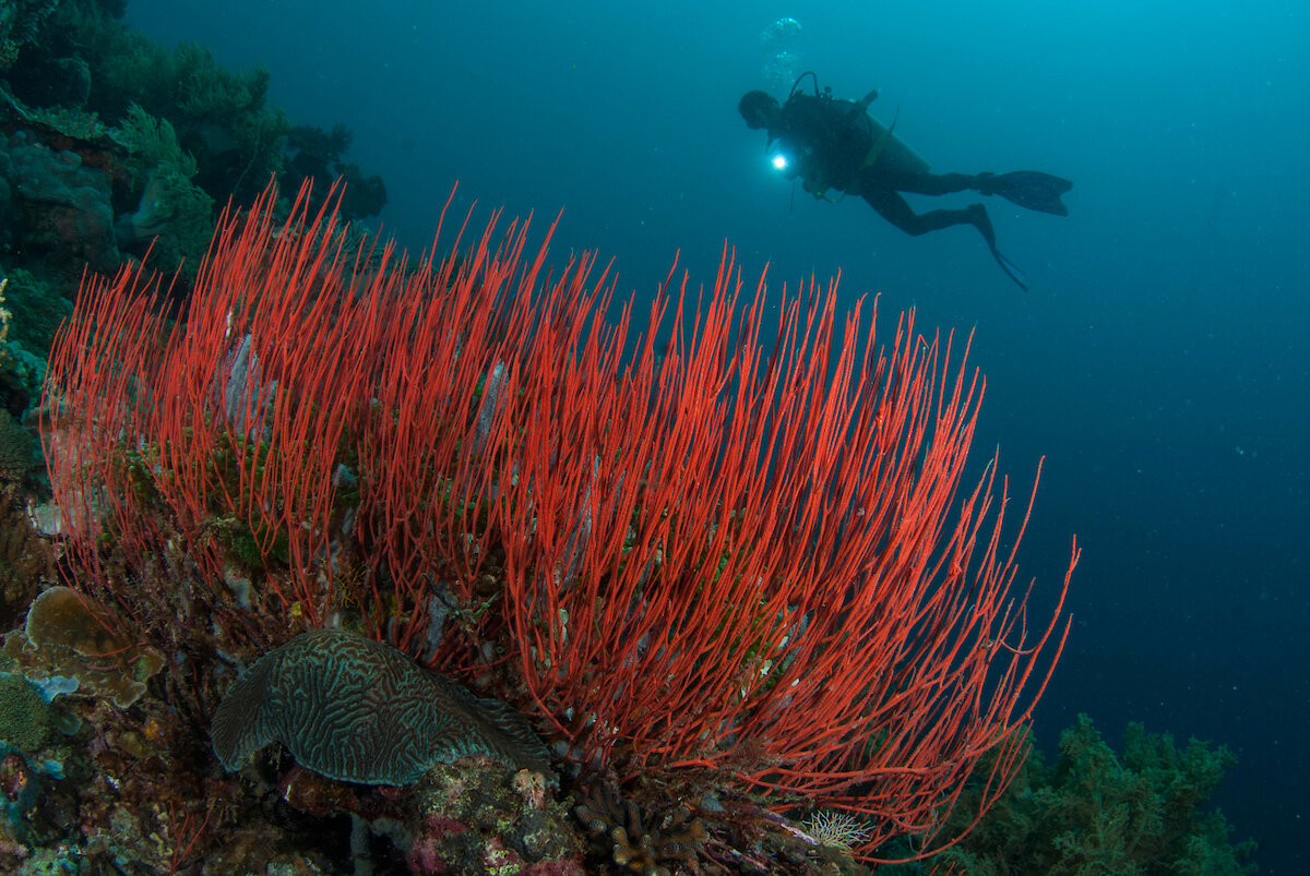
SFB is currently focused on Sabah, Malaysia with testing and monitoring in Sipadan Island Park, Tunku Abdul Rahman Park, and Tun Sakaran Marine Park.
This map below shows one of the most concentrated regions of damage located in the Coral Triangle area of South East Asia.

Sama Dilaut Or Bajau Laut
The Sama Dilaut (also known as Bajau Laut) are a largely stateless maritime community living in the coastal region of the east Malaysian state of Sabah.

Sabah, Malaysia
One of the 13 states of Malaysia, Sabah occupies the northern part of the island of Borneo. Sabah is nearly 73,904 square kilometres (28,534 sq mi) and is surrounded by the South China Sea on the west, Sulu Sea to the northeast, and Celebes Sea to the southeast.
Kota Kinabalu, Sabah
Kota Kinabalu is the capital of Malaysia’s Sabah state. The city is flanked by lush rain forest and Mount Kinabalu to the east and the Tunka Abdul Rahman Park to the west.

Semporna, Sabah
Semporna (also known as Pekan Semporna) is the capital of the Semporna District in the Tawau Division of Sabah, Malaysia.

Sipadan Island Park
Sipadan Island Park, Malaysia’s only oceanic island, lies in the Celebes Sea. The park off the east coast of Malaysia near the borders of the Indonesia and the Philippines.

Tunku Abdul Rahman Park
Tunku Abdul Rahman Park is located in Gaya Bay about 3 kilometers offshore of Kota Kinabalu.

Tun Sakaran Marine Park
Tun Sakaran Marine Park, also known as Semporna Islands Park is located at the entrance to Darvel Bay, off the East coast of Sabah near the town of Semporna.